Location evidence map
Interactive map loading. If it does not load, use the location cards below.
Markers show configured AQ26 target locations and public-safe evidence links. They do not identify plume direction, exposure or source contribution.
Location dossiers
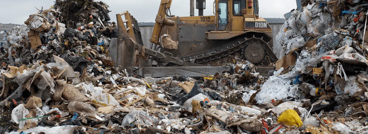
Newhaven ERF
East Sussex · energy from waste
- Public-safe linked records: 59
- Candidate matches: 148
- Claim level: screening_and_readiness_notes_only
Map interpretation boundary
This page is a navigation and evidence-provenance map. Public markers and links are not environmental-health findings, permit-compliance findings, dispersion-model outputs or causal source-attribution determinations.